Multi-plan mapping
Technical and visitor plans, image/WMS layers, published versions and print export.
Professional site maps
Centralize map plans, pitches, POI and networks in one SaaS platform for managers of all kinds of sites: campsites, parks, municipalities, golf courses, stadiums and many more.
Visual identity inspired by premium site plans (Gorge Vent style): clear legends and brochure-ready output.
R3ZO
Mapping, operations & field
Technical and visitor plans, image/WMS layers, published versions and print export.
Centre, boundary, floors, pitches and POI. GeoJSON, KML, GPX, DXF import.
Pro €19/month excl. VAT: PDF, DXF, GeoJSON and guest sharing (5 sites). Business €39/month excl. VAT: up to 20 sites. Group and Enterprise on quote.
PricingMobile app
Plans and work orders in the field, including offline.
Product preview
Run your plans from the dashboard, act in the field with the native app — networks, equipment and work orders in one place.
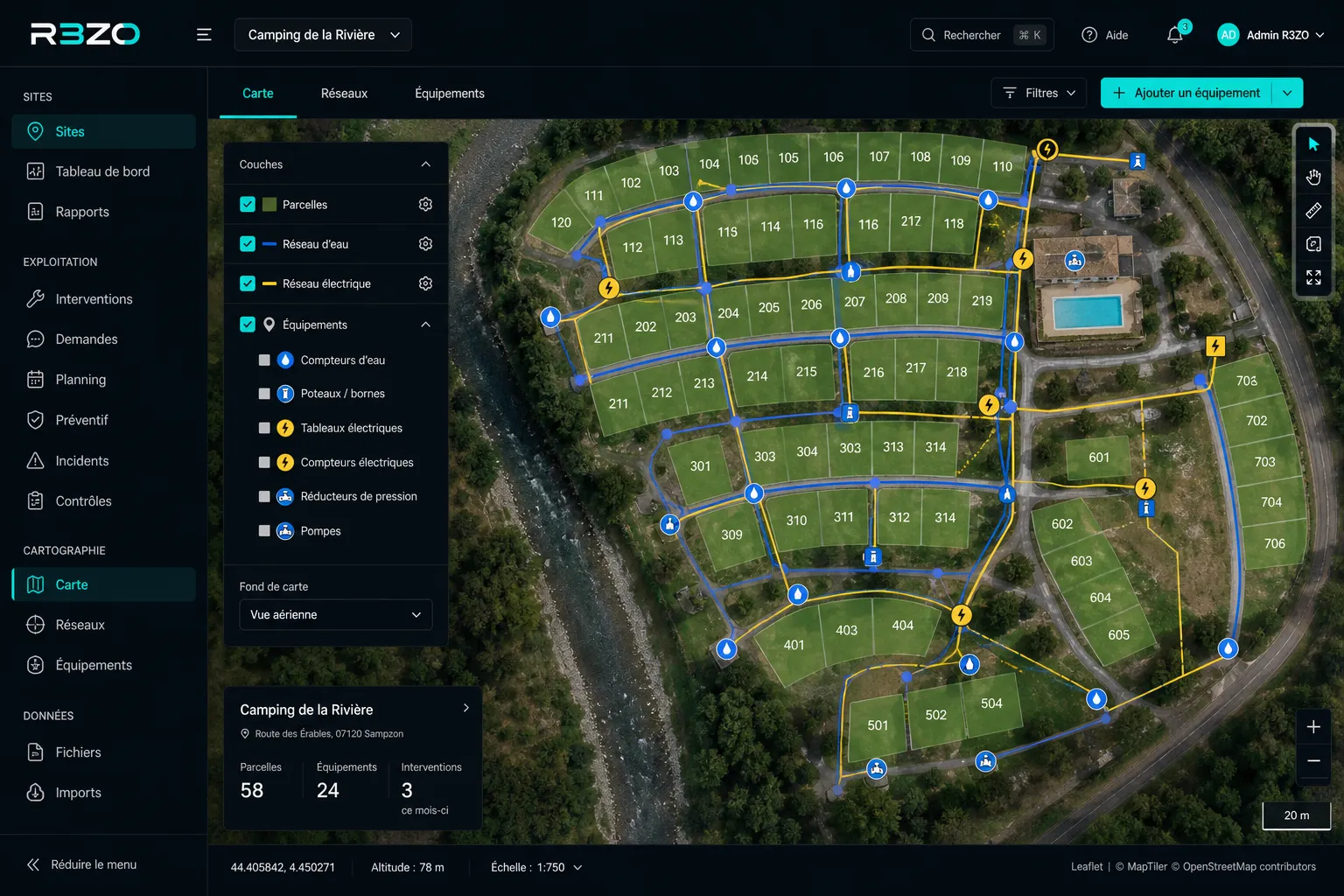
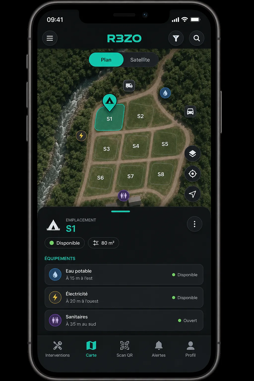
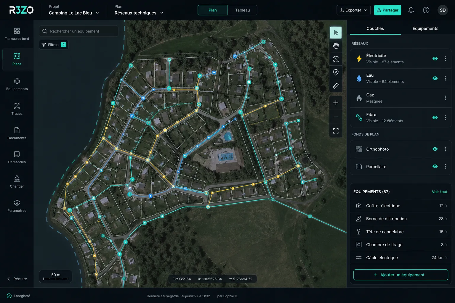
Networks & layers
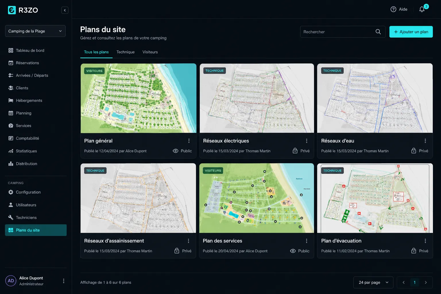
Multi-view plans
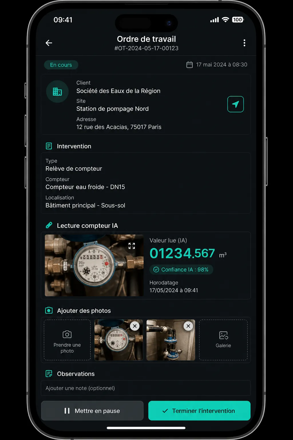
Field & meter reading
Infrastructure intelligence
Un socle visuel unique pour relier cartographie, terrain et pilotage en temps reel.
Our technology partners


Questions or a demo?
Contact us